Capability
Article 6.2Cooperative approach· Bilateral|Article 6.4Mechanism activity· Centralised|ICVCMCCP-aligned· Integrity|ICROAEndorsement-ready· Voluntary|CORSIAPhase II eligible· Aviation|CAD TrustInteroperable· Federation|ISO 14064Aligned MRV· Quantification|ISO 14065Aligned VVB· Verification|ISO 17029Aligned assurance· Validation|GHG ProtocolScope 1/2/3· Inventory|CSRD · ESRS E1Disclosure-ready· Reporting|ISSB · IFRS S2Investor-grade· Reporting|Sentinel-1/2Continuous cadence· Earth obs|IPCC 2019Tier 2/3 capable· Methodology|Article 6.2Cooperative approach· Bilateral|Article 6.4Mechanism activity· Centralised|ICVCMCCP-aligned· Integrity|ICROAEndorsement-ready· Voluntary|CORSIAPhase II eligible· Aviation|CAD TrustInteroperable· Federation|ISO 14064Aligned MRV· Quantification|ISO 14065Aligned VVB· Verification|ISO 17029Aligned assurance· Validation|GHG ProtocolScope 1/2/3· Inventory|CSRD · ESRS E1Disclosure-ready· Reporting|ISSB · IFRS S2Investor-grade· Reporting|Sentinel-1/2Continuous cadence· Earth obs|IPCC 2019Tier 2/3 capable· Methodology|
Digital Twin · DT.01

Forest Digital Twin

Species-level 3D replica of a managed forest patch. Click any tree for IUCN status, DBH, height, wood density, root:shoot ratio, soil carbon and the exact allometric equation used.

Biome
Stocked Area
1,247ha
Total Carbon Stock
0.0ktCO₂e
+0% v/T0
Stem Density
0stems/ha
Soil C (0–30 cm)
0tC/ha
Biodiversity (richness)
66spp/ha
+0% v/T0 · H′ 0.00
Patch · Sumatra-PT04 · 2.41°N, 102.18°E
Sentinel-2 backed
Year T+0 · 2025
Trees sampled · 0
True colour
Heatmap · off
Mode · Orbit
Drag to rotate · scroll to zoom · click any tree to inspect
Scenario
Rain
Soil
1.10·1.05·SOC×1.00
Growth Timeline
2025
202520352045
Click any tree in the scene to load its identity, IUCN status, biometrics, and the allometric equation used to derive carbon.
Capabilities

What a digital twin gives a verifier.

Per-stem traceability

Every tree has an ID, species, IUCN status, geo-coordinate and a versioned biometric record.

Equation transparency

AGB equation (Chave 2014, Brown 1997, peat-swamp local) is shown alongside ρ, DBH and H per tree.

Walkable scene

Switch to first-person walkthrough — auditors can move under canopy and inspect stems in situ.

IUCN stratification

Filter by Red List status to surface CR/EN stems and audit harvest exclusion zones.

Soil + below-ground

Soil C (0–30 cm) and root:shoot are integrated into the stock total, not just AGB.

Time-series replay

Slide through 20 years to watch DBH, height and stand-level CO₂e respond to growth.

Field reality

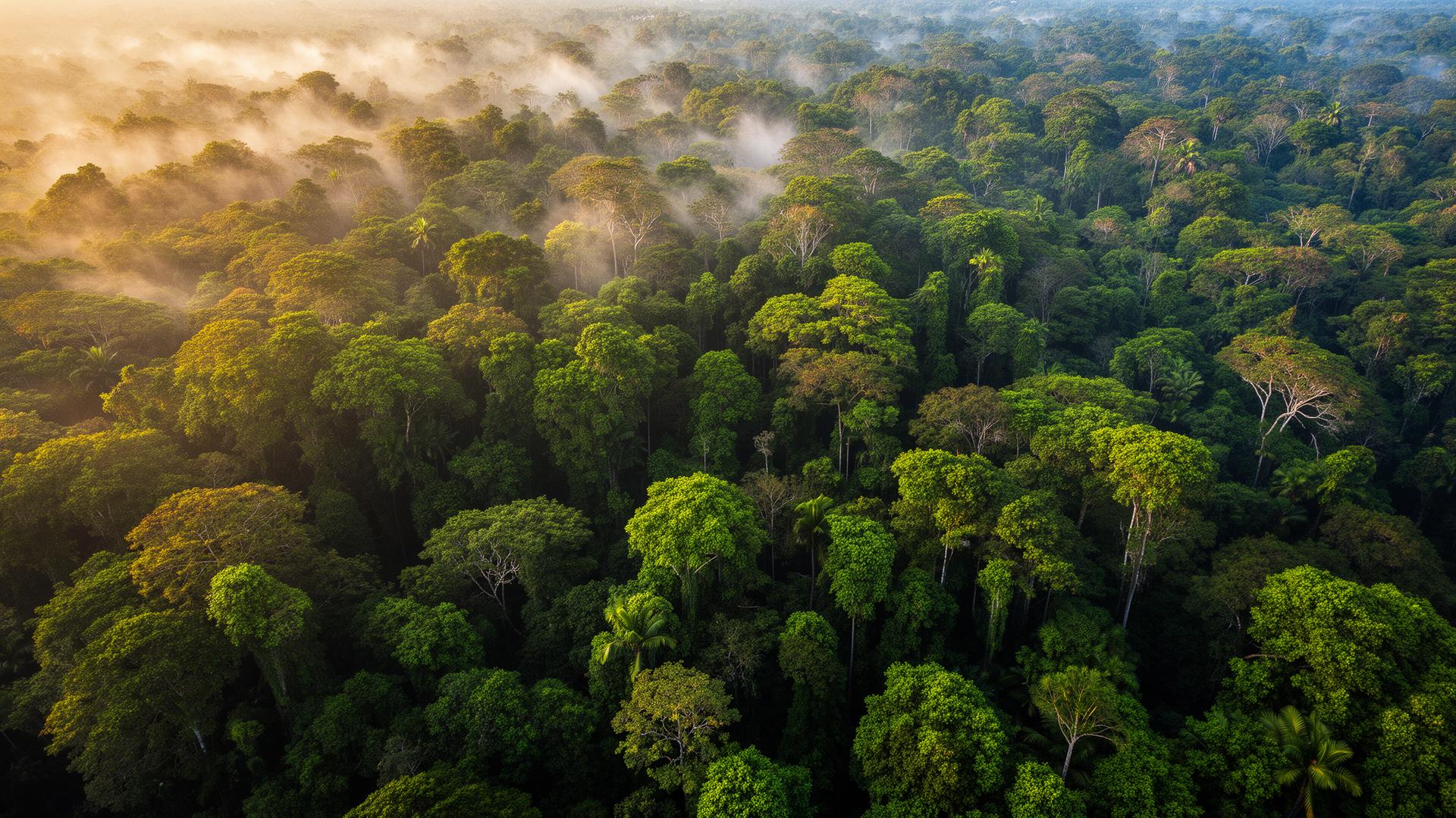
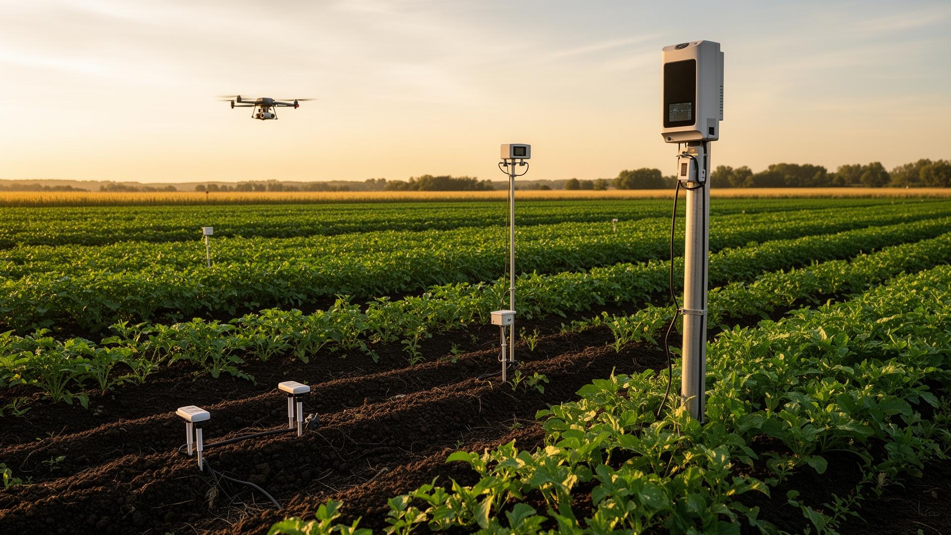
The same forest — instrumented, photographed, verified.

Every procedural twin is grounded in deployed field reality: aerial canopy imagery, LoRaWAN-embedded sensor poles, drone overflights, and ground crews. The visuals below are representative captures from analogue project sites paired with simulated live telemetry.

Tropical dipterocarp canopy · aerial drone capture
Live · field feed
NDVI
0.76 idx
Canopy Δ
+0.4 ha/wk
Above-ground C
184 tC/ha
Tropical dipterocarp canopy · aerial drone capture
Sentinel-2 + UAV LiDAR · NDVI ground-truthed weekly
Regenerative cropland · soil-moisture probes + UAV
Live · field feed
Soil moisture
32.0 %
SOC Δ
+0.34 tC/ha
Nodes
96 live
Regenerative cropland · soil-moisture probes + UAV
LoRaWAN soil network · IPCC Tier 2 SOC model